Have you considered enjoying the summer for hiking in one of the most beautiful and favourable sceneries in the world?
Hiking Trails in Davos Klosters
Hiking is one of the best ways to explore an area, besides propitiating several health benefits, according to many studies – it helps losing weight, preventing heart disease and diabetes, reducing hypertension, and even improving mental health!
Frequently, we hear of people who go out to hike to think, reflect, and make decisions. In the extremely hectic and hurried world in which we came today, it is normal to feel anxious, tired and overwhelmed. Stress is a serious modern disease and can do much to the body and mind.

Behold, hiking comes as a more than natural treatment.
When faced with the incredible scenarios of Davos Klosters hiking trails and the consequent silence that the sport provides to each of the participants, it is impossible not to breathe deeper and slow and not feel body and mind gradually relax! There is no hurry; there are no delays: you are in one of the most beautiful hiking destinations in the world. Enjoy without moderation!
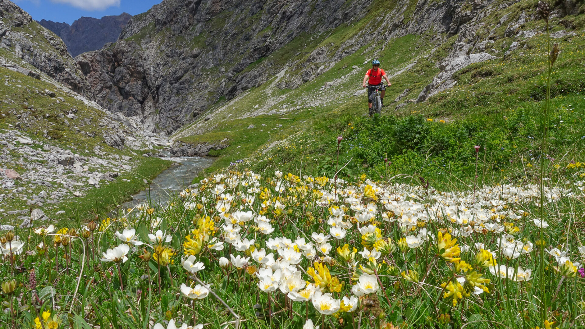
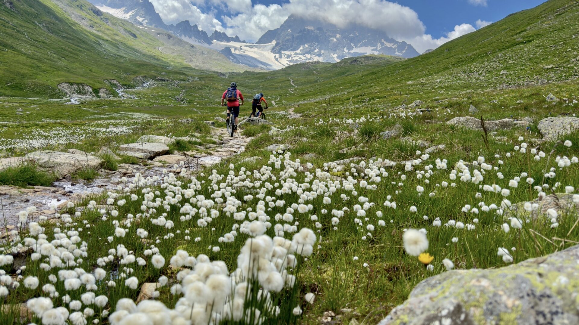
Moreover, Davos Klosters concentrates several differentiated features – there are 700 km of well-marked trails for all skills, prepared to welcome people from all over the places. Guests can count on the summer to see amazing colourful scenes, with fields of flowers and the live nature.Routes are well organised to make sure you enjoy your time and skills in the best way; there are grades for difficulty and duration of hiking.
We usually find many hiking tips in Davos Klosters however, Ride and Smile selected the top hiking trails in the region with your comfort in mind: On the trails chosen by us, you will rarely find biking. Generally, in Davos Klosters, the trails are shared with mountain bikers, but we understand that it can be a discom-fort for many who appreciate this practice, and that is why we took this care. Check out!

1 – Jöri-Lake – Vereina Valley – 2580m
To Wägerhuus in Flüela by Bus: go up to the picture-perfect, wonderful Jöri-Lakes, which will compensate the huge way up.
Then we recommend the descent to Vereina Berghaus. The choice of an overnight stay is yours, but the stop is mandatory. There, one option is to go by bus to Klosters.
Note: Transport from Berghaus Vereina to Klosters needs to be booked with Gotschna Sport.
Hiking level: Intermediate
Distance: 12.8 Km
Duration: 4 hours and 30 minutes (no break included)
Climb: 740m
Descent: 1,010m

2 – Stilli – Seehorn – 2238m
This hike starts in Davos Dorf, behind the Intercontinental Hotel. The climb is made through the forest and becomes steeper until the end. Then, the rise is smoother to the top, where you are faced with a fantastic view of Davos and Klosters – one of the most beautiful views of the mountain compared to the effort to get there.
There are several ways to get to Davos. Note: We recommend returning via Davos Wolfgang – direction Drusatscha – Davoser See – Hochgebirgsklinik, where the bus station is located.
Hiking Level: Intermediate
Distance: 7.4 km
Duration: 3 hour and 30 minute (no break included)
Climb: 707m
Descent: 712m
3 – Sertig – Durrboden – 2606m
That is a fascinating way that crosses two passes; you will see magnificent valleys in beautiful meadows as you walk, in the central points of glacial tops. The way connects Davos to the Romansch Upper En-gadine region.
It begins in Sertig Sand and up to the Chuealp Valley; then, it goes down through Val Sartiv, and cross-es Val Funtauna. Views are amazing; you will see meadows with flower fields.
When the trail turns into the Val Susauna and up to Scaletta Pas, you will be able to see the high mountains above the Upper Engadine Valley. The top of the walk is on Scaletta Pass and Schwarzhorn, known for its distinct triangular form.
Going down the Dischma Valley, you will get to the most magnificent part of this walk, the scenario everybody expects: You will be in the centre, surrounded by Scaletta Peak and Piz Grialetsch, with the Scaletta Glacier. The view is spectacular and unforgettable. Enjoy this precious moment as much as you like – as you continue walking, watch the environment, and your time in this incredible scene.
The ending point takes place at Durrboden, an alp with a restaurant. You can find a seat on the sun terrace and spend a glorious time there, pick up a drink, and enjoy the time before returning to Davos – by bus.
Since that is a beautiful trip full of ups and downs, Ride and Smile highly recommends you start early, so you have enough time to spend watching all the views along your way. To be sure of the bus time-table, which is subject to change, check the schedules at SBB website or app.
Hiking level: Difficult
Distance: 18.4 km
Duration: 6 hour and 45-minute (no break included)
Climb: 1145 m
Descent: 1,004m

4 – Schwarzhorn – 3142m
By hiking in this path, you will be able to see incredible mountain peaks and Grossglockner and Mount Blanc when the weather is beautiful. This way offers a fantastic view, and the ascent is not so demand-ing.
Your journey begins at Davos Dorf – you can take the Postbus up to the Flüela pass, and then get off at the first stop after the top of the pass. If you choose to go driving, it is recommended leaving the car in the parking area, at the top of the pass. At the bus stop Flüela Schwarzhorn, take the direction Schwarzhornfurgga and pass Schwarzchopf.
If you are doing that in the Summer, you will have the chance to enjoy pure drinking water at the height of 2,500 metres. Get to Schwarzhornfurgga at 2,883 metres, and you will have a comprehensive view of Dischmatal. If you choose to go on from Schwarzhornfurgga, you will find a path in a zigzag course, and you can come back in the same way. Sunset or sunrise is fantastic from there.
Hiking Level: Intermediate
Distance: 7.8 km
Climb: 813m
Descent: 813m
Duration: 3 hour and 45-minute (no break included)

5 – Fanezfurgga – 2580m
Go by bus from Davos to Sertig Sand. The suggested path follows the road towards the waterfall (special place to visit on the way); hike into the Ducan Valley. The trail is on the top of a river; then, it goes up to the Fanezfurgga.
Enjoy the beautiful view from there. Continue to Fanezmeder, and don’t forget to appreciate the traditional and old wood houses for cows. The way continues by the side of a stream down to Oberalp, and it goes down to Monstein.
Find out about each point:
- Sertig Dörfli: One of the most popular trips for visitors. It offers never-seen-before mountain scenery, with waterfall and mountain church. It is impossible not to feel enchanted. You can try the delights in the Walserhuus or Bergführer restaurants.
- Ducan Valley: Extends 4.5 km from the Wasserfall Alp in the Sertig Valley up to the Ducan-furgga.
- Fanezfurgga: You will find it between the Dolomite ridge of Strel and the Chrachenhorn. The Fanezfurgga mountain pass leads from Sertig Valley through the Ducan Valley over into the Fanezfurgga Pass and then down into the Monstein.
- Fanezmeder: Its meadows are part of the Monstein Oberalp, home to the incredible herbs that grow here, which help to produce outstanding hay.
- Oberalp: One of the three Monstein alps. Get amazed by the beautiful place, surrounded by forests.
- Monstein: Small gem of timber houses, also covered with larch tiles, and stores on stilts, its view leads to the Albula valley. The place holds one of Europe’s highest breweries – try the brewed product made with fresh mountain water in the BierVision or the Ducan and Veltlinerstübli restaurants.
Hiking Level: Difficult
Distance: 11.48 km
Climb: 954m
Descent: 748m
Duration: 4 hour and 30-minute (no break included)
6. Dürrboden – Grialetschhütte – 2542m
Anyone looking for a cozy hut to spend the night after a hike is in good hands here.The Grialetschhütte or Chamanna da Grialetsch is a mountain hut owned by the Swiss Alpine Club. It is located in the Grialetsch area, south of Davos, at an altitude of 2542 m above sea level, between Davos and the Lower Engadine with a view of the Dischma Valley. We recommend the route for hikers who are not necessarily looking for a sporting challenge but want to spend a leisurely day in the mountains.
Level: Moderate
Length: 9.5 km
Duration: 4:30 hours (without a break)
Ascent: 350 m
Descent: 650 m
Of course, there are other ways to extend the tour. A hike from the Flüela Pass is an interesting alternative for those who would like to make a round trip to the Grialetschhütte.
First, you should take the post bus to the “Susch/ Schwarzhorn” stop.The hike starts on the path towards Munt da Marti. Follow the road
above the pass until you come to a bridge, which is right next to the pass road. At the parting of the ways, continue to the right – the
direction Susch, Chant Sura to Dürrboden is not recommended. We only recommend the path over the Fuorcla Radönt to Dürrboden
for experienced hikers. The path is very blocky in parts, so you need excellent balance to walk over the numerous boulders.Contact us to know more about it.
Book your hike guide and enjoy your summer holidays.
Ride and Smile not only offers hike guides who know the most unique places in Davos Klosters but also organises and indicates tracks according to the level and profile of each client. If the idea is to camp on the mountain or to have a special picnic after the hiking day, do not worry.
We are here to make sure your adventure will be perfect because we look into every detail to ensure an incredible experience for you and your family.
Questions? Not sure where to go, what time to leave? Ride and Smile can guide you all the way long – get in touch!


